
STRABO
GeoPDF and offline GPS in the field
The pocket-sized "where am I on the map" — for land surveying, forest scouts, environmental consulting and inspection. Got a GeoPDF on WhatsApp? Open with → Strabo. No account, no project, no setup.
Coming soonGoogle Play
Coming soonApp Store
What it does
Opens, locates, works
Open and useGeoPDF becomes a map in seconds and stays in the library, always available without internet.
See where you areInstant GPS with accuracy circle, edge arrow and distance-to-border warning.
MarkersPins with name, description, colors and ~90 symbols; geofence with entry and exit alerts.
MeasurementsDistance and area with snapping to vertices, edges and intersections — like desktop GIS.
GPS trackRecords your route with the screen off, live trace on the map.
NavigationCompass and dashboard to a point; coordinates in decimal, DDM, DMS and UTM.
Base layersShapefile, GeoPackage, GeoJSON and KML over the map, with category colors and labels.
ExportKML/KMZ, GPX, GeoJSON, GeoPackage, Shapefile and Strabo package to share the whole job.
Real privacyNo account, no analytics, no ads. Everything stays on the device.
20 languagesFollows the device or pick manually in settings.
Screens
The way it looks in the field
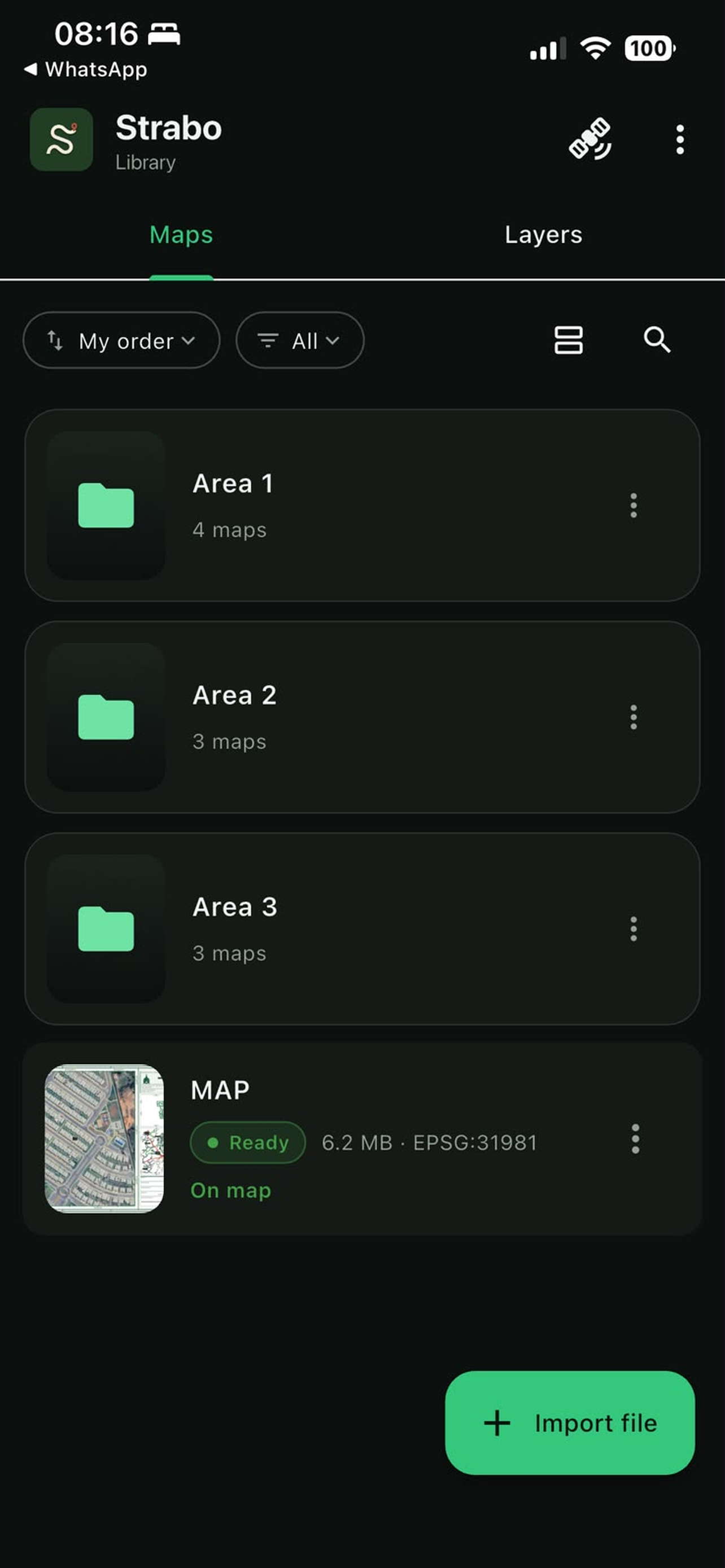
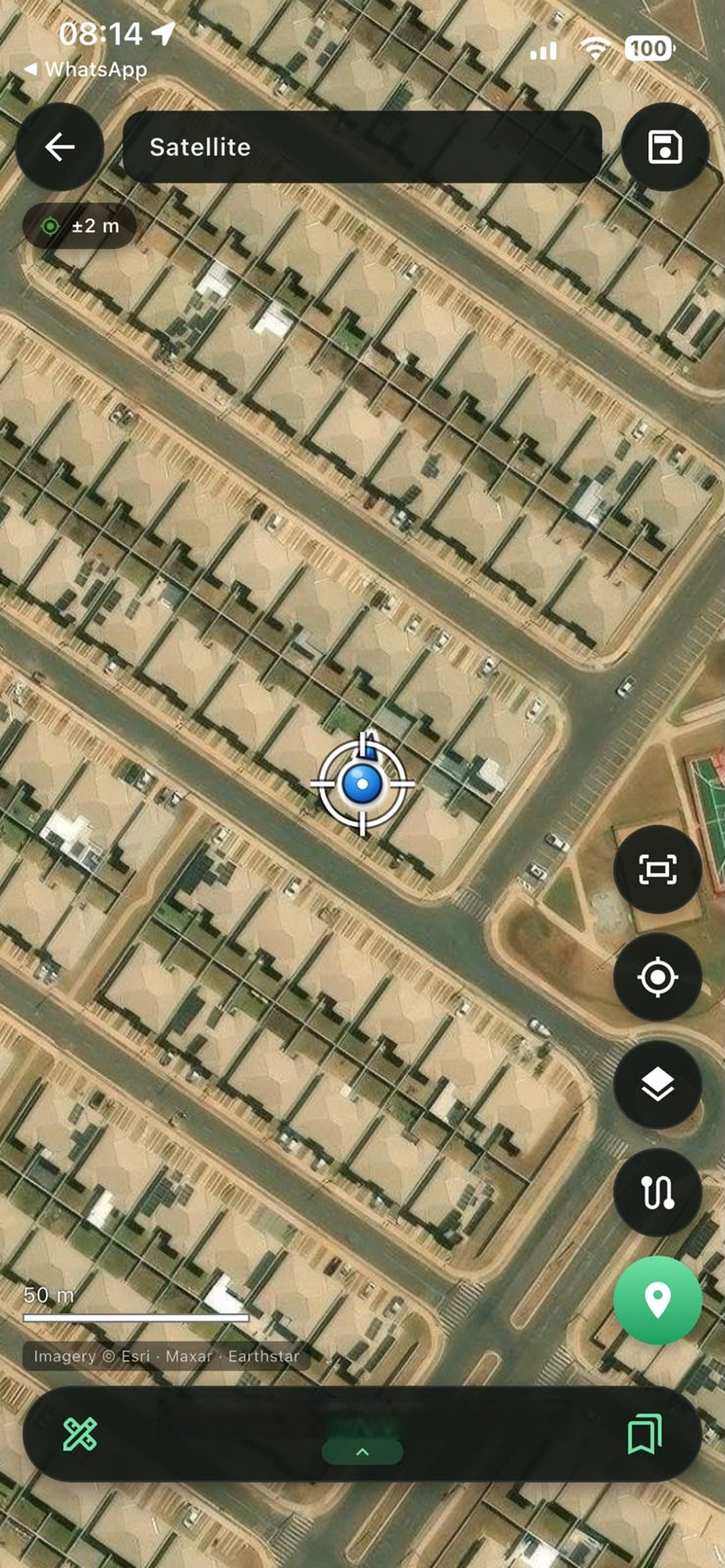
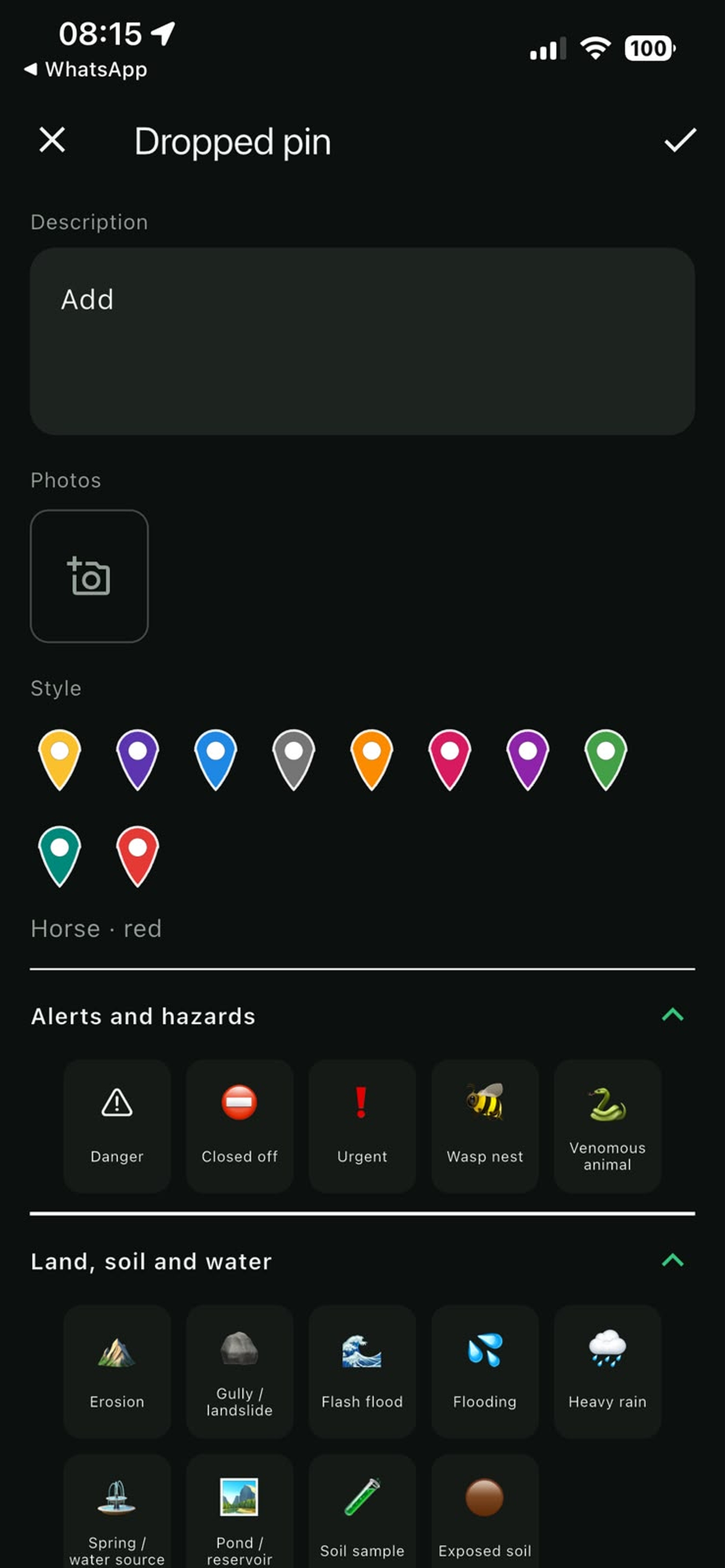
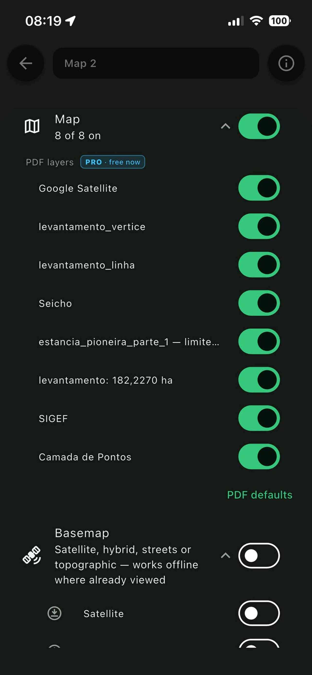
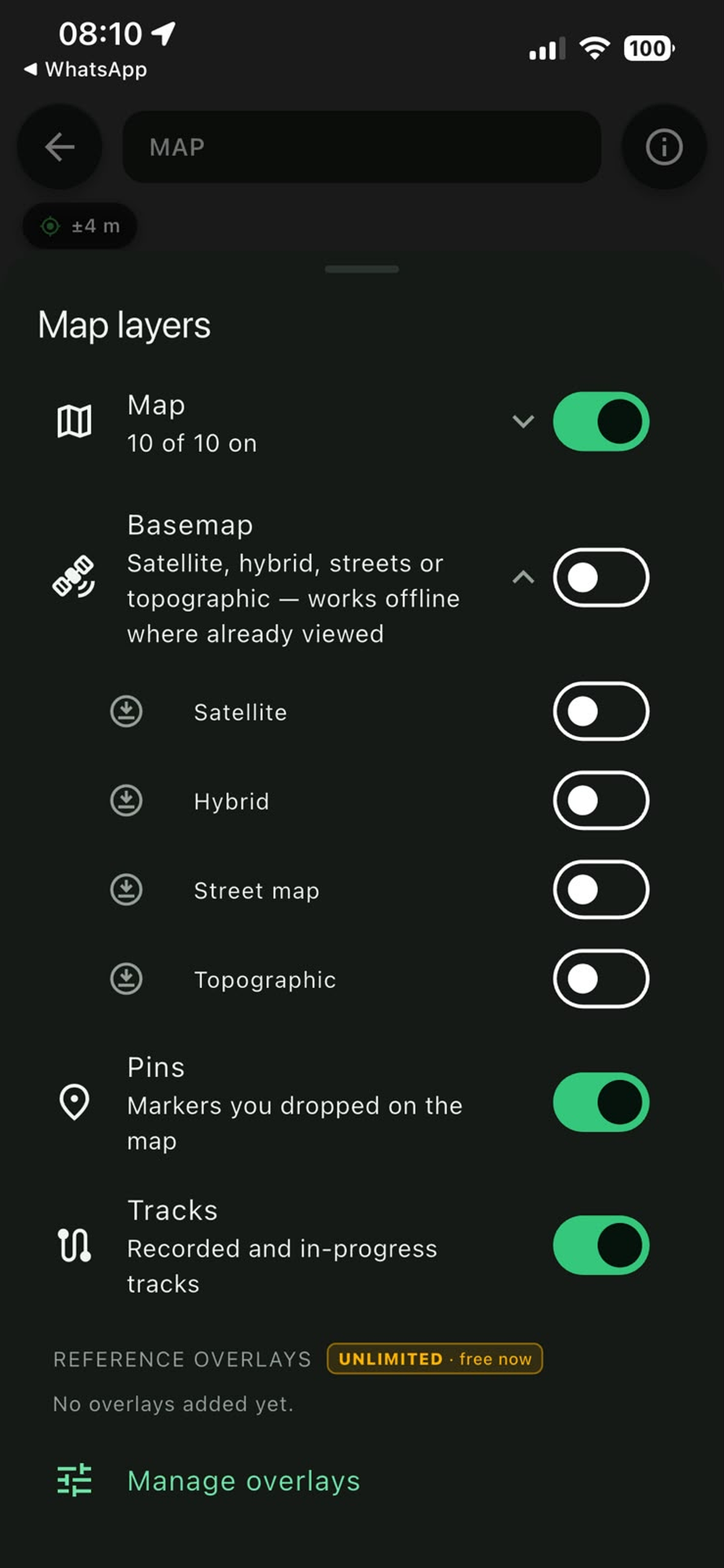
Works on ordinary phones, with weak signal or none at
all. The map lives on the device — the field doesn't need
internet to tell you where you are.
Why Strabo?
Strabo was the Greek geographer who described Agrippa's world map — Rome's engineer who measured the known world. The original map was lost; Strabo's description crossed two thousand years and reached us. The app does the same with your map: it takes it out of the cabinet and puts it in your pocket — where the work happens.
Privacy Policy · Support: suporte [at] agrippa.tec.br